In my previous post on Bukhansan National Park, I had the blessings of a guide, ilJumun Jingwansa, who is a KNPS ranger. My second time in the National Park, I took a subway train by myself to explore. This was a quick hike to familiarize myself with getting to the mountain, rather than an in depth exploration.

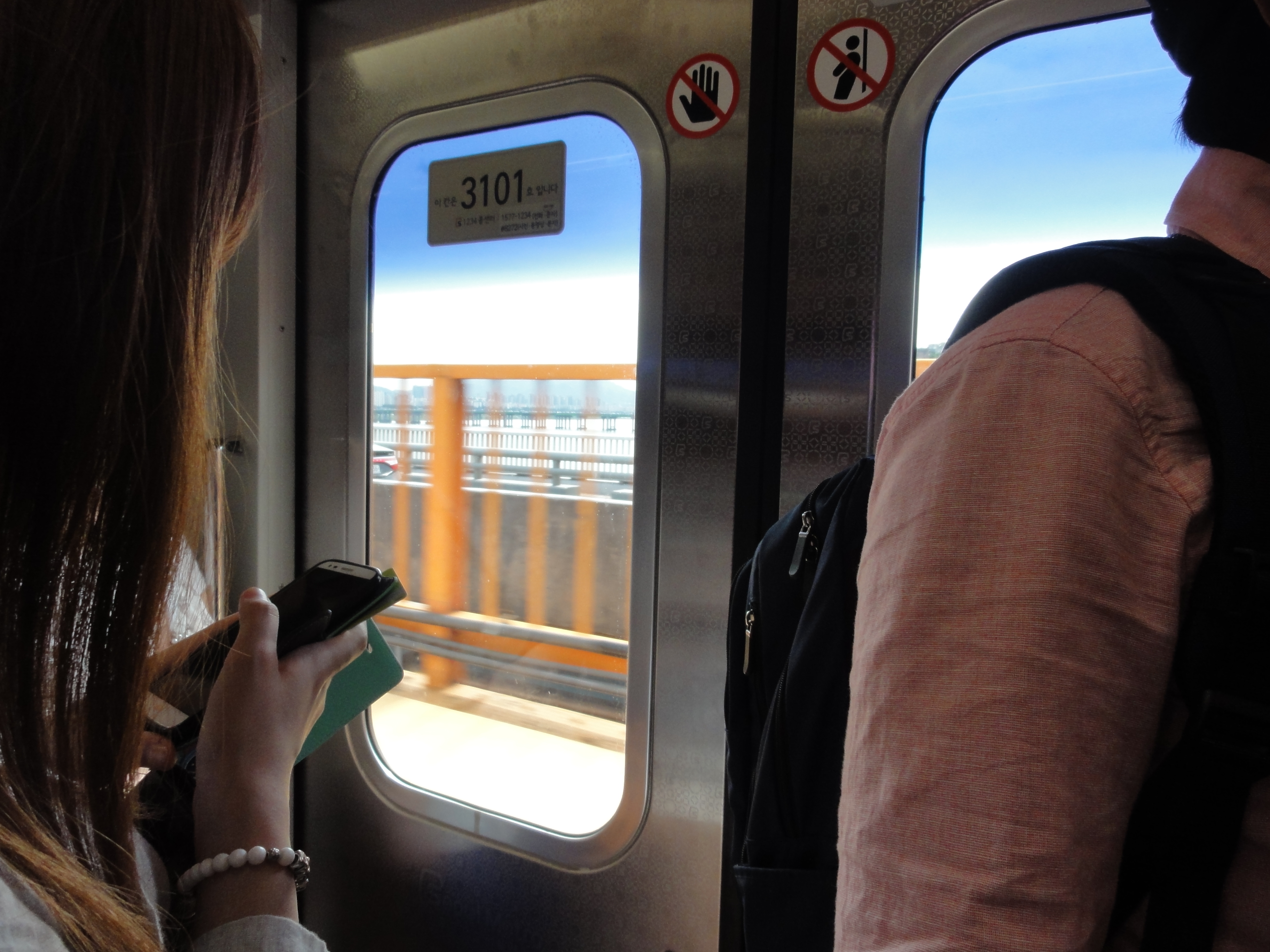
I took a train from my hotel in the Gangnam district to the Dobong Station, which is the closest subway station to Bukhansan National Park.
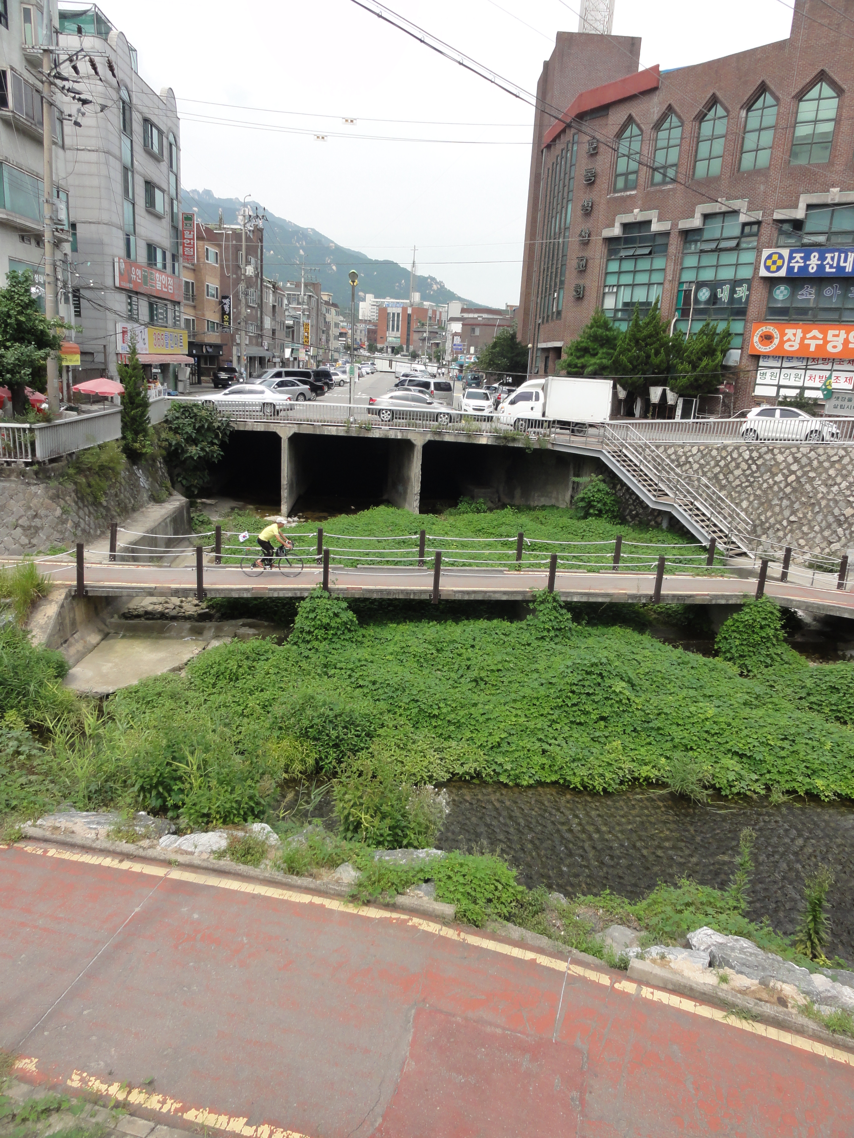
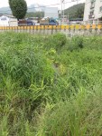
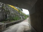
One thing that I noticed most everywhere in Seoul was the use of the small narrow spaces along rivers, under expressways, and other nooks and crannies that serve as linear parks with multi-purpose trails connecting them. Next time I am there, I hope to rent a bike and do some serious exploration of these,
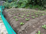
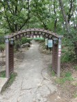
From Dobong Station, I wandered up a stream along a multi-purpose trail, passed a narrow band of agriculture, to the foot of the mountain.

This adventure ended up being more about the edges of the city, and how they feather into the edges of the National Park and less about the National Park itself. But, it did give me the confidence to navigate to the Bukhansan and to the base of Dobongsan Mountain.
