In previous posts here1, here2, and here3 discussed a then and future trip to Rwanda to help with GIS and gorilla research.
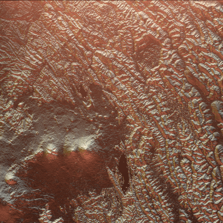
No more in depth write up yet, but I’ve been working on some of the cartographic products to show in the background of maps. Since Rwanda is so beautifully hilly (read: mountainous) and the research is focused on the Virunga Mountains (volcanoes) themselves, this is a huge opportunity for some hillshades to figure in the background of some maps.
So… the following image probably won’t make its way into production maps, but it is very painterly and beautiful, so I thought I’d share it: