I am just returning from a couple weeks in Dar es Salaam and Zanzibar in Tanzania. It was a really busy and inspiring sequence of workshops, meetings, and the annual Free and Open Source for Geospatial (FOSS4G) conference. I have a stack of info and experiences to process, but let me just drop a little of that out here for all of you.
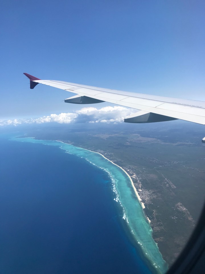
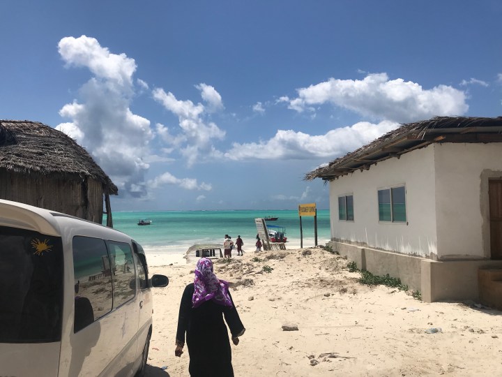
The trip started and ended in Zanzibar. We can see the coral guarded lagoons around the edge of Unguja island.
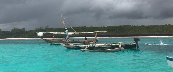
In addition to a great workshop on emerging techniques for citizen science sampling of coastal areas, we had a number of meetings and social events, as well as some experimentation with cool drone technologies.

Then on to the mainland and Dar es Salaam. There’s some really interesting experimental work taking place in differential barometry as an approach for improving relative digital terrain models of drones (more on that later too). We warmed ourselves by our Android fires, so very early in the morning.

Then on to FOSS4G itself, where friends and collegues were found and selfied.


The conference itself requires few pictures — typical conferency stuff took place…


Followed by the Gala Event and dancing and music all week long. For the record, the Humanitarian OpenStreetMap Team (HOT) can dance! Holy smokes. Every single one of them.
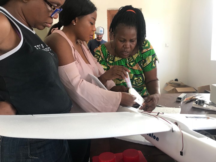
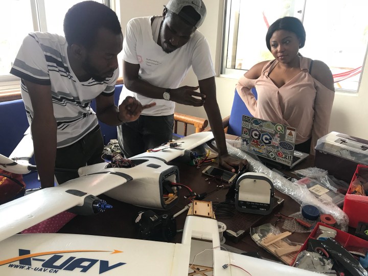
Finally, for me, on to a HOT / Uhuru Labs event studying fixed wing construction and flight for aerial mapping with out local Tanzania team, as well as folks joining from Nigeria, Uganda, and the United States. This is another section that falls into the category of needing more blogging later… .

There’s so much more to write, think about, and relive. But for now, I’ll defer to plane schedules and the calls of jetlag.

Très bel article résumant et immortalisant l’inoubliable semaine Foss4G/HOTSummit2018.
Il me fait vraiment revivre ces moments,l’article.