Better Digital Elevation Models for Everyone

(Reposted from: the OpenDroneMap Blog)

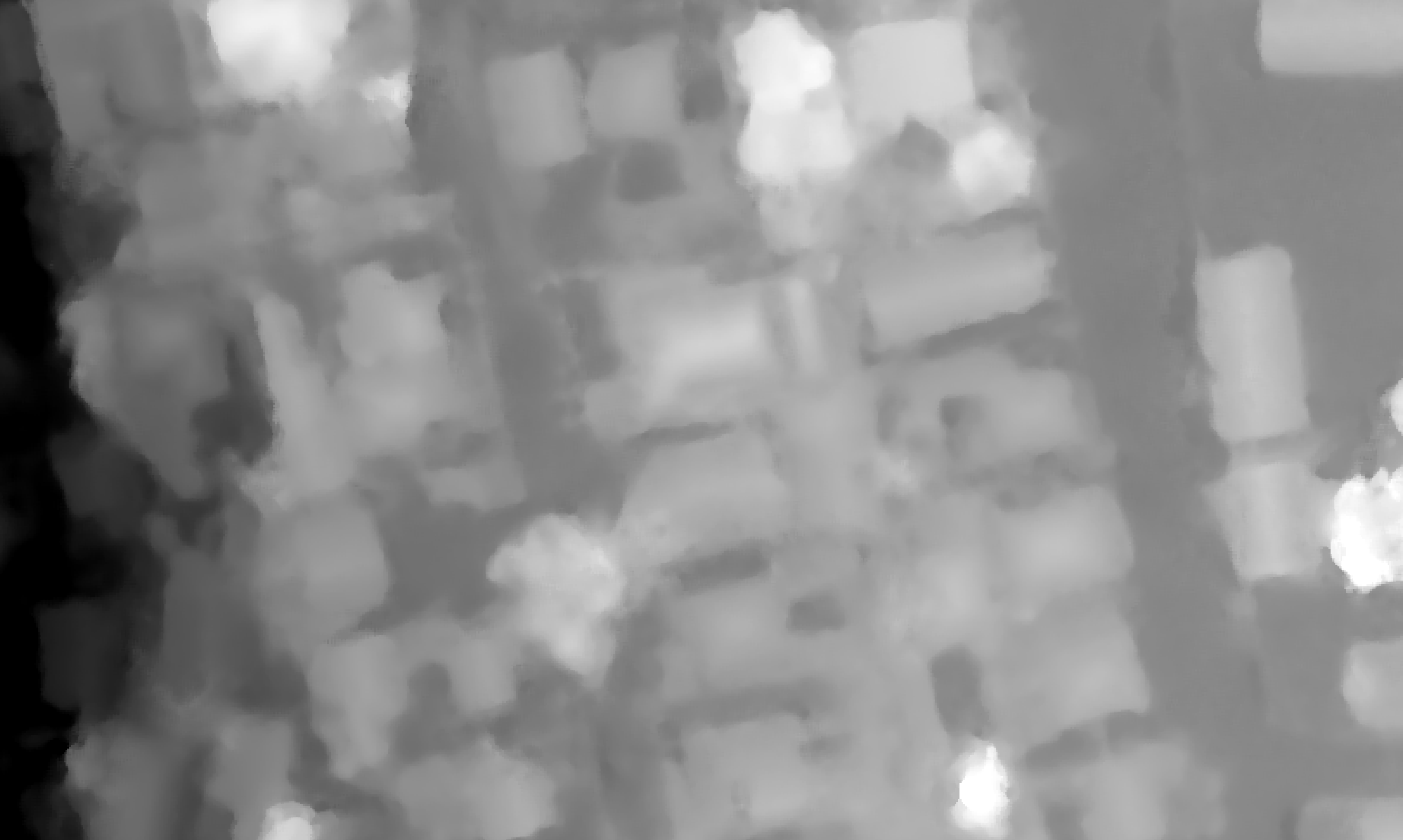
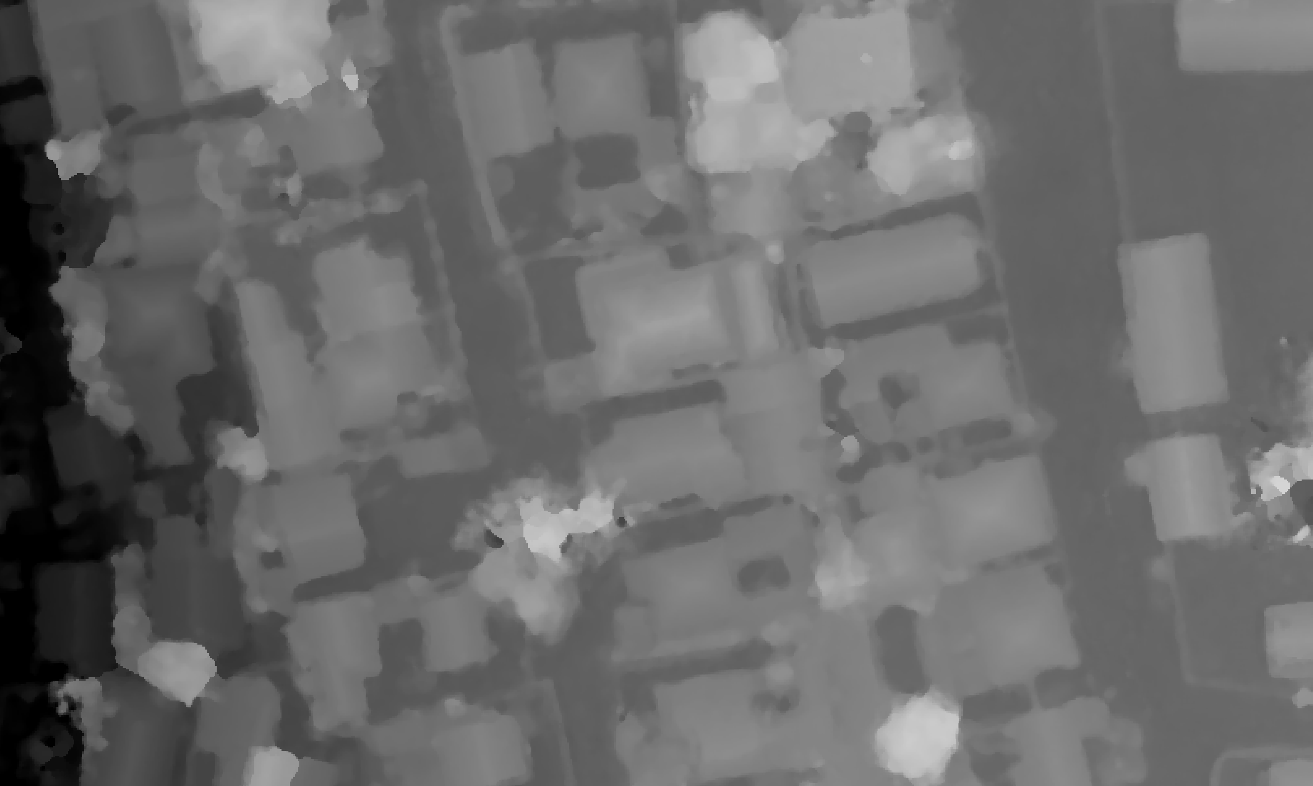
We have some cool new-to-us approaches in the works for digital elevation models. Here’s a quick teaser and comparison old to new. This is a digital surface model over some buildings, fences, and trees in Dar es Salaam:

Blurry DSM image -- Old approach
Blurry DSM image — Old approach


Nice DSM image -- New approach
Nice DSM image — New approach

Leave a Reply

Fill in your details below or click an icon to log in:

WordPress.com Logo

You are commenting using your WordPress.com account. Log Out /  Change )

Facebook photo

You are commenting using your Facebook account. Log Out /  Change )

Connecting to %s

This site uses Akismet to reduce spam. Learn how your comment data is processed.