I have done a small smattering of posts over the years on cartography and parks. I thought I would share in this post some of the work we have done toward this end for mobile and desktop web. The app itself (still awaiting a full port to webgl) can be found here.
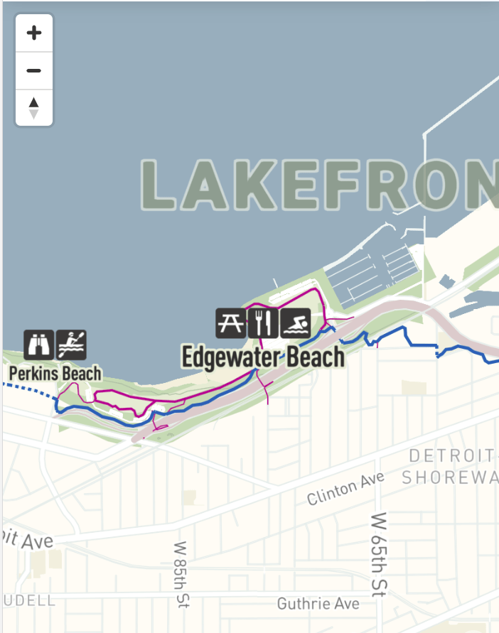
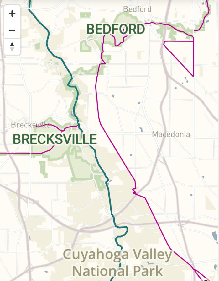
Here we take a bit of inspiration from NPS Maps and some of our own needs and standards to produce some nice maps. Each one is a link to the slippy map, so please explore!
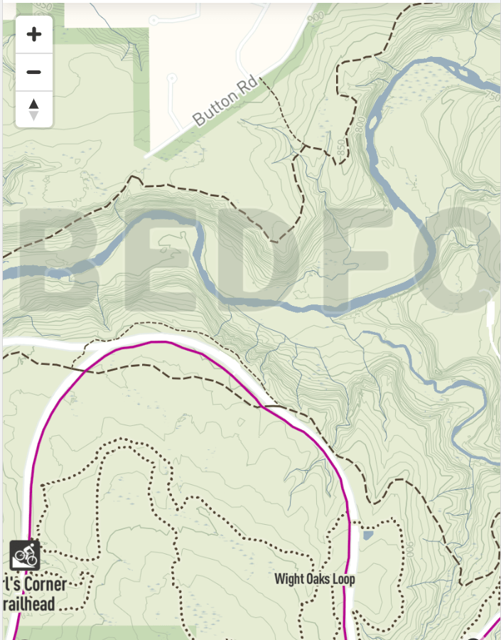
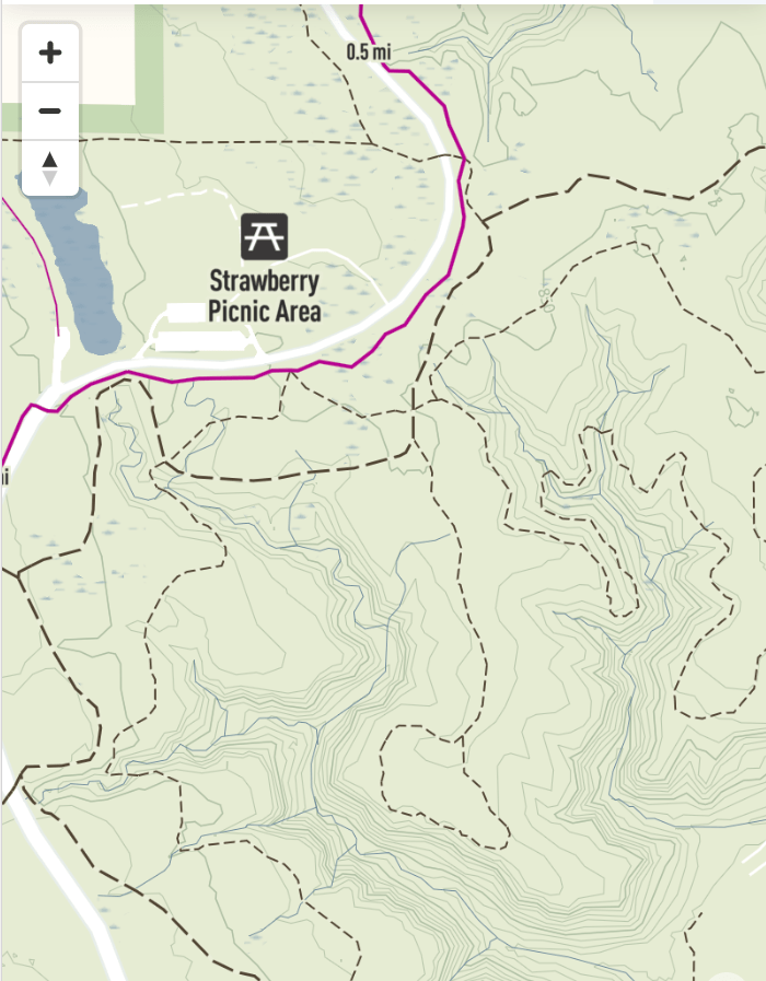
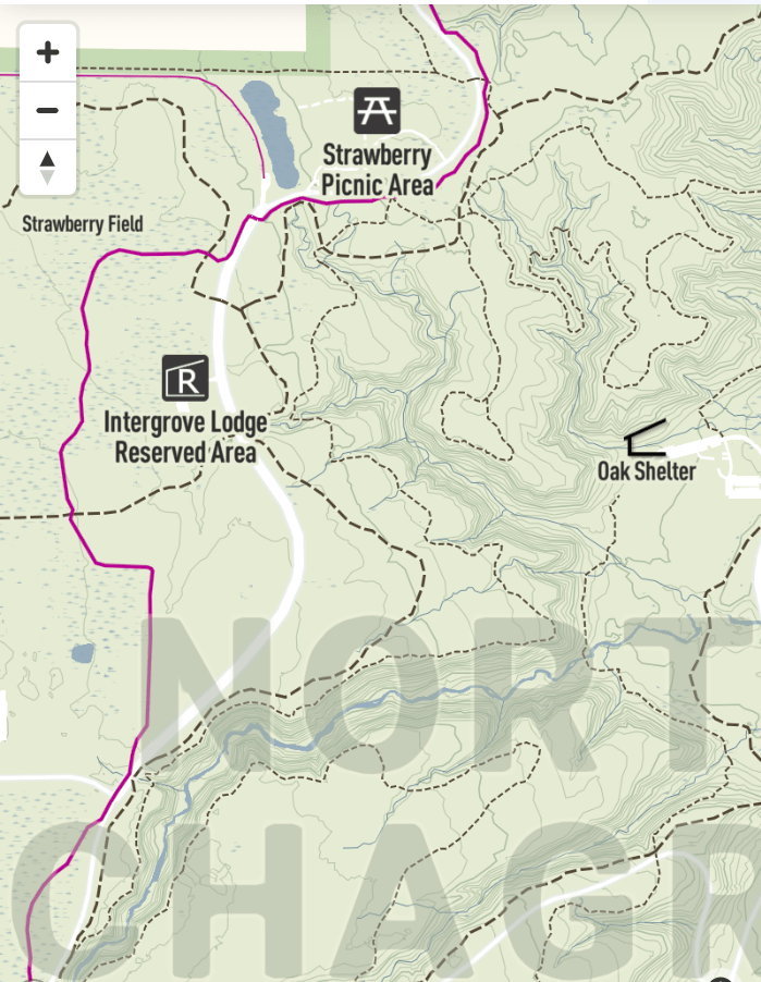
It is really fun as I look at these, thinking through the effort that goes into each data component, from contours to boundaries, wetland and waterway bodies sourced from our natural resources staff to heavy lifting from GIS staff on creating aggregate icons to minimize clutter and maximize the communication power.
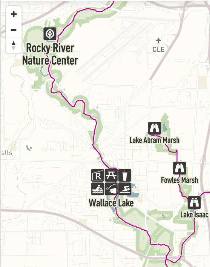
Screen shot of map showing clustered NPS style icons


Very nice maps and a great job !
Congratulations !
Thanks!