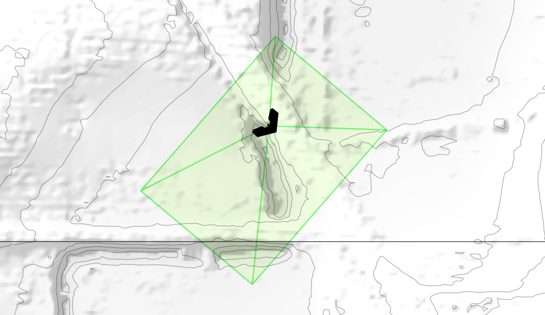
UAS (drone) Footprint Geometries Calculated in PostGIS (viewed in QGIS nightly), taking into account relative elevation, bearing, pitch, and roll, this time just one:
UAS (drone) Footprint Geometries Calculated in PostGIS (viewed in QGIS nightly), taking into account relative elevation, bearing, pitch, and roll, this time just one:
