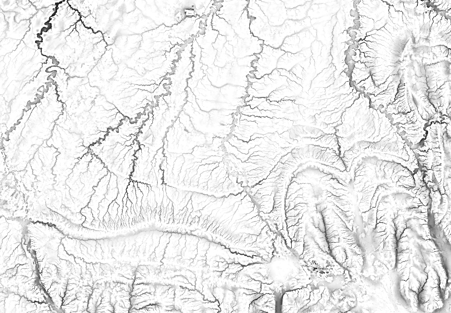
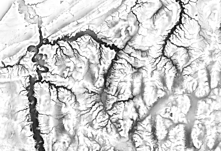
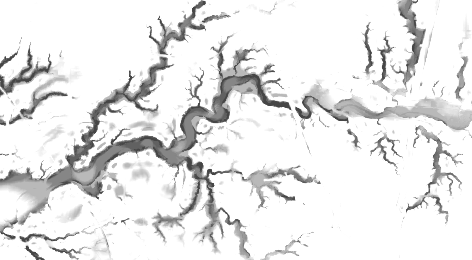
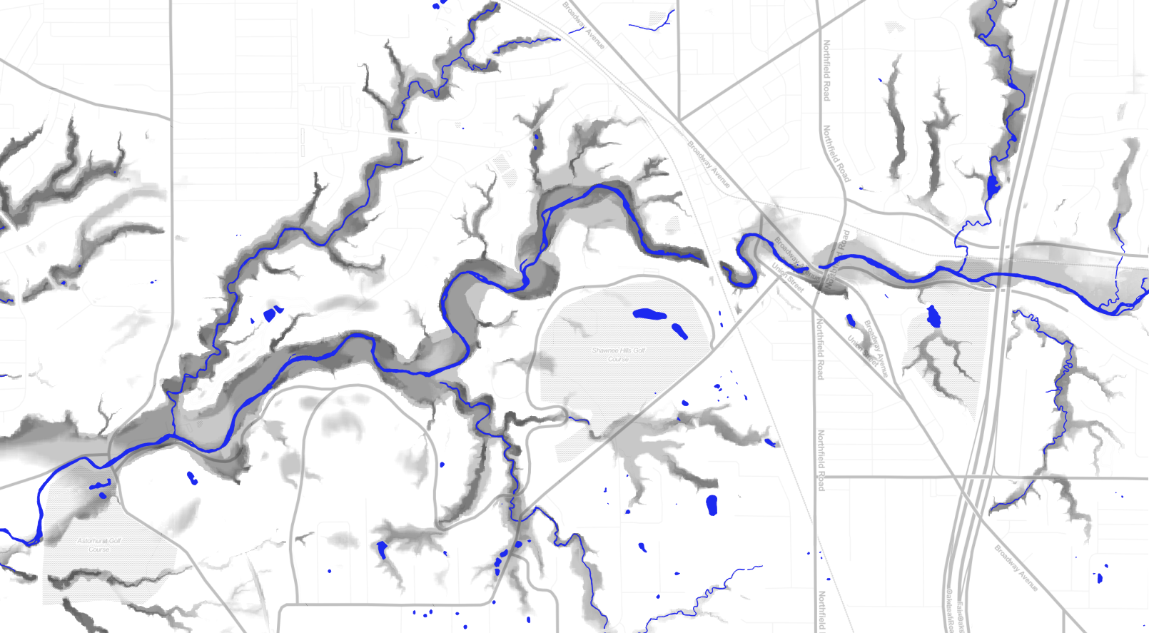
Just pretty pics today of estimated riparianess. If you prefer a bit of code, see previous post https://smathermather.wordpress.com/2014/11/22/landscape-position-using-gdal/


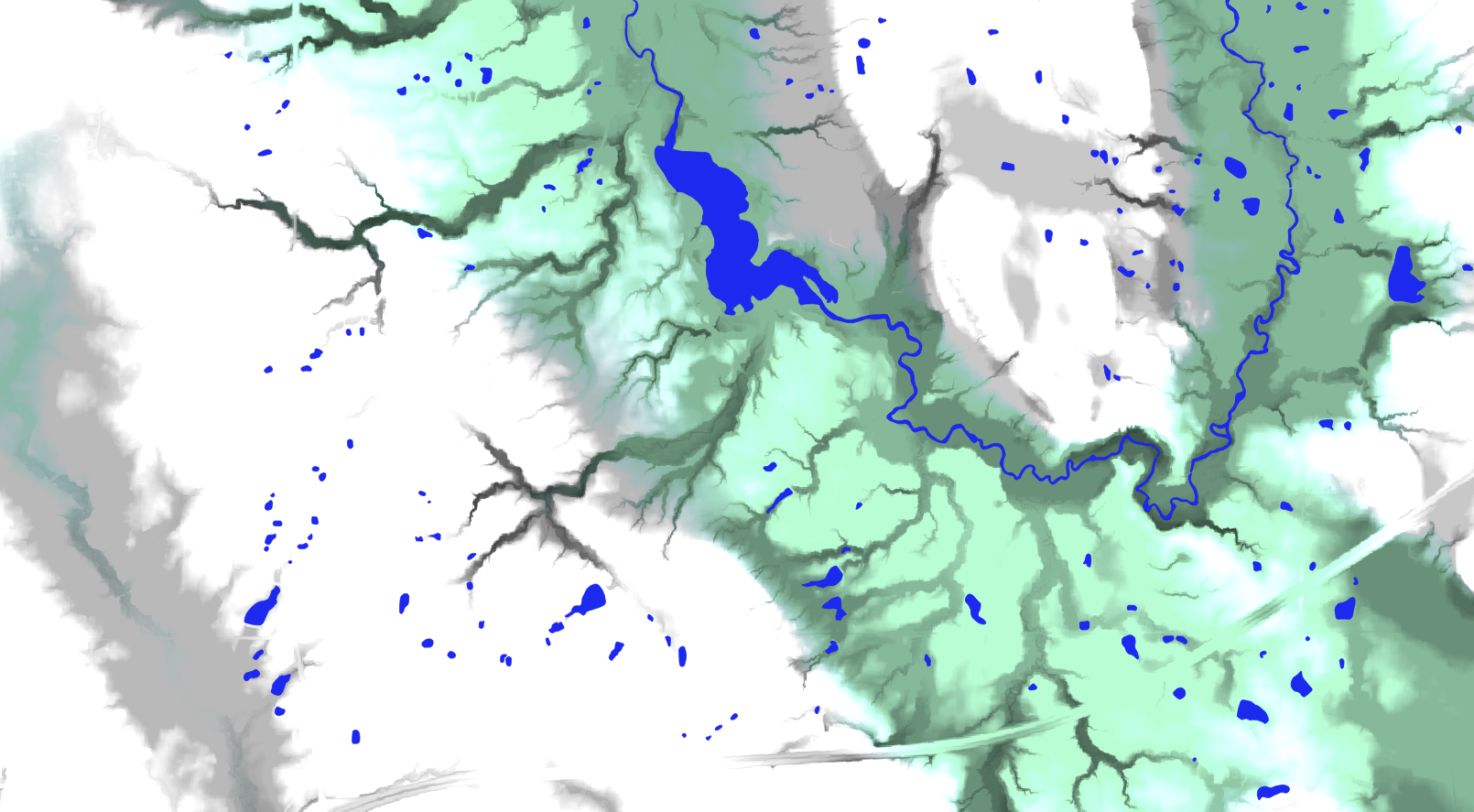
Just pretty pics today of estimated riparianess. If you prefer a bit of code, see previous post https://smathermather.wordpress.com/2014/11/22/landscape-position-using-gdal/

Hi there – it’s more conventional (and also quite simple) to calculate the topographic wetness index (eg.
http://grass.osgeo.org/grass64/manuals/r.topidx.html). This is not a criticism – I love your blog and your work – I’ve been meaning to contact you and get involved, particularly with respect to the photogrammetry.
Cheers
Damien
________________________________
Hi Damien,
I appreciate the comment and look forward to collaborating on photogrammetry.
Definitely TWI is very useful and complementary to landscape position. Landscape position targets landform classification, rather than an index for wetness / overland flow accumulation. See e.g. http://www.jennessent.com/arcview/tpi.htm
Best,
Steve
Ah yes, I see the distinction. This is very useful step on the way to defining riparian zones, ready to be coupled with vegetation community distinction etc. I like it!