Filtering buildings and vegetation from drone-derived surface models

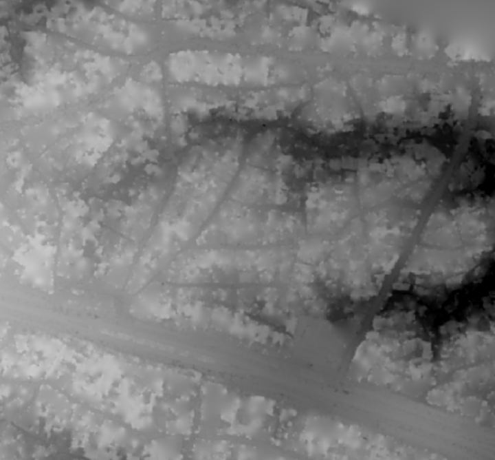
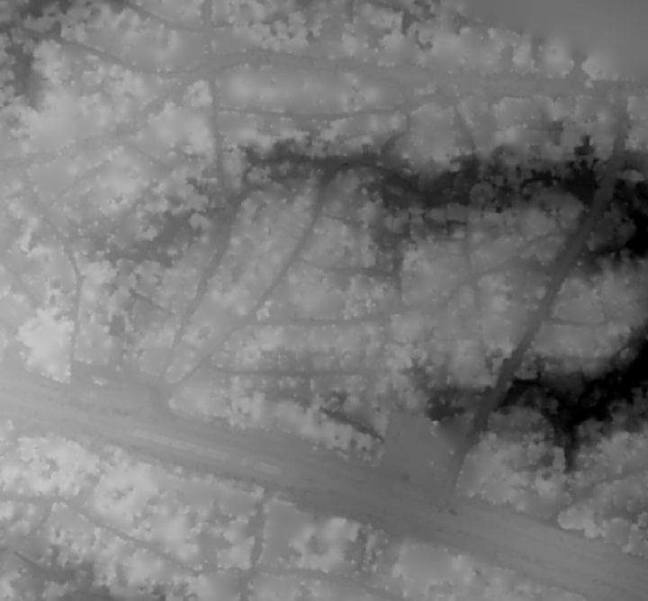
I’ve been playing for the last few days with PDAL and it’s ability to filter point clouds. More code and details later, but here’s a teaser of my results to date:

Image of unfiltered surface model.
Image of unfiltered surface model
Image of unfiltered surface model.

Image of surface model derived from points filtered using approximate progressive morphological filter.

Image of surface model derived from points filtered using approximate progressive morphological filter.
Image of surface model derived from points filtered using progressive morphological filter.
Image of surface model derived from points filtered using progressive morphological filter plus building footprint and outlier removal.

Leave a Reply

Fill in your details below or click an icon to log in:

WordPress.com Logo

You are commenting using your WordPress.com account. Log Out /  Change )

Facebook photo

You are commenting using your Facebook account. Log Out /  Change )

Connecting to %s

This site uses Akismet to reduce spam. Learn how your comment data is processed.