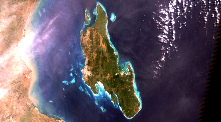
The Zanzibar Mapping Initiative is the largest civilian drone mapping project in the world — an ambitious project to map the Zanzibar Archipelago using a whole host of eBee drones.
The project is nearing completion of mapping Unguja, the larger of the two main islands.


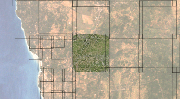
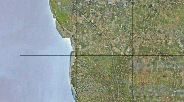
Because of the large area to be covered, ZMI required an approach to partition the data into manageable flight areas.
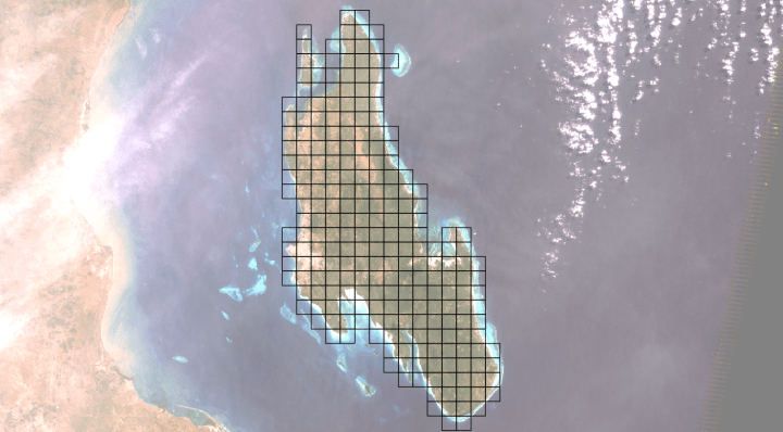
And in practicality, these were flown as overlapping areas, with some areas flown at a higher resolution:
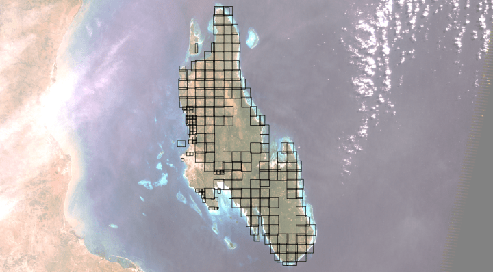
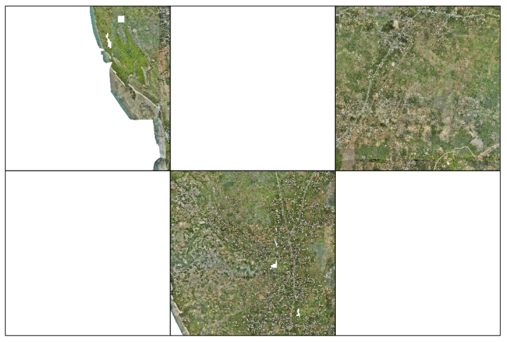
Now here’s the problem: how do we put these back together with just GDAL and a Windows command prompt? I had the privilege of testing out my ideas on these data:
https://gist.github.com/smathermather/d948a252f5e417334244adc05c10790b

Very impressed by your work. Using GIS and helping your fellow man. Great work, keep it up.