
Thanks to the tireless work of the folks behind the Zanzibar Mapping Initiative, I have been exploring the latest settings in OpenDroneMap for processing data over Stone Town. I managed to get some nice looking orthos from the dataset…
https://smathermather.com/2020/01/15/stone-town-digital-surface-model/
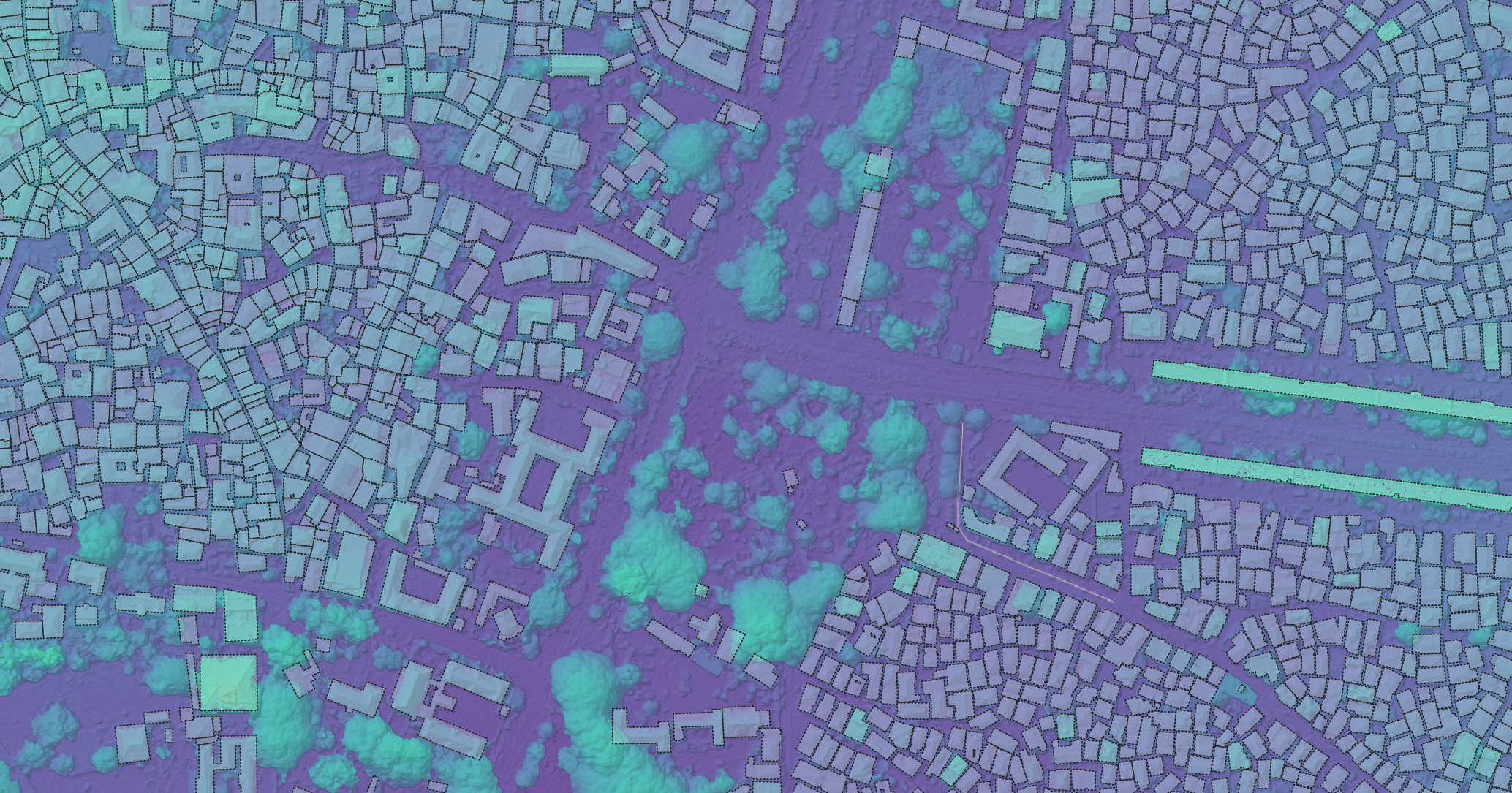
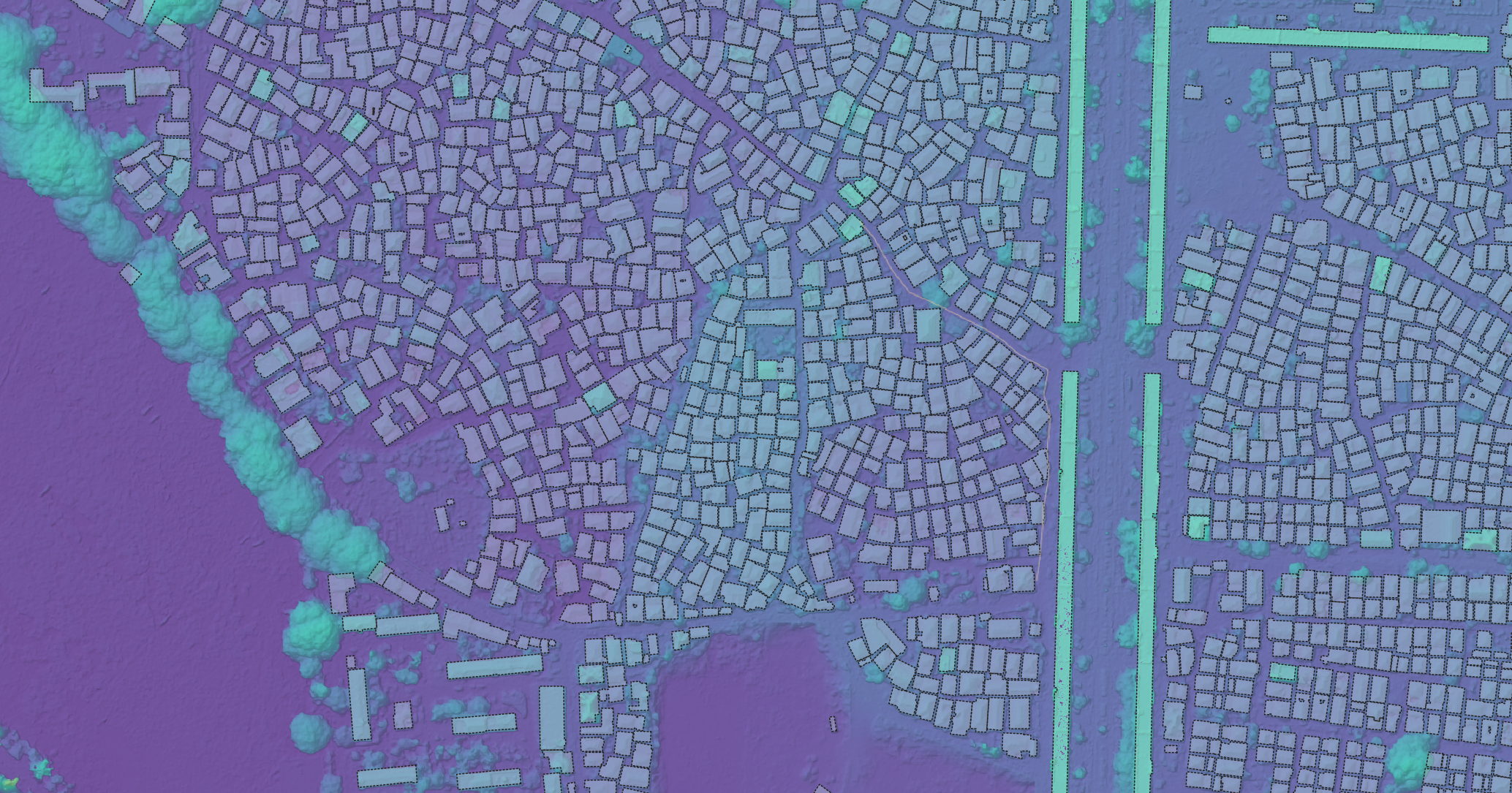
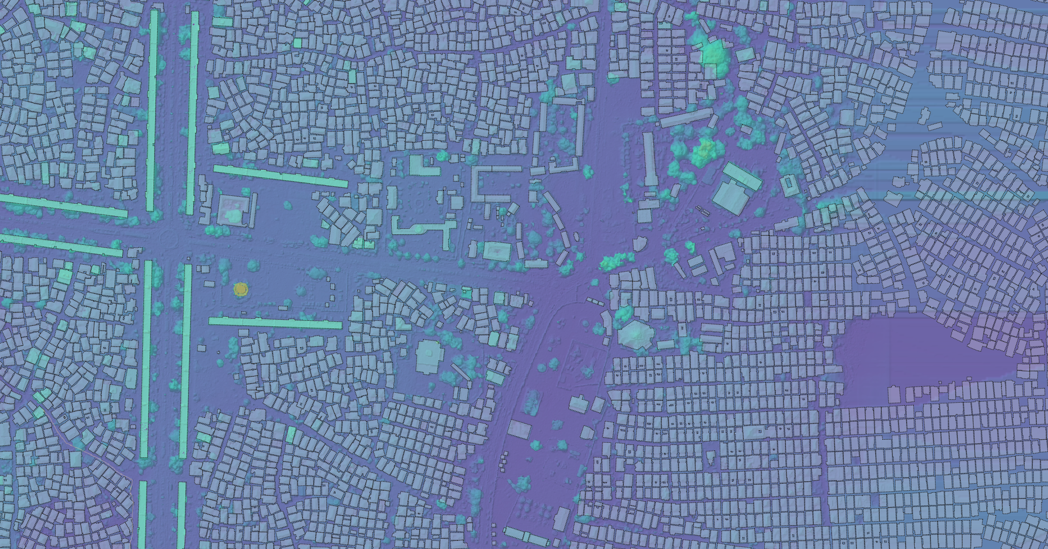
After a few days of mapping the very small 🎸, let’s go back to a city scale, and back to Zanzibar. In the previous post, we got a glimpse of a Stone Town digital surface model derived from Zanzibar Mapping Initiative data. I have been working an using those same approaches with as much of the city data that I have, and the results look quite nice.


Next, let’s derive a digital terrain model from this… .

2 thoughts on “Stone Town Digital Surface Model — Part Two”