
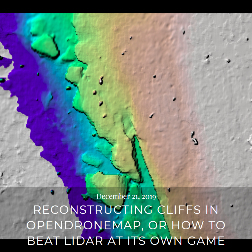
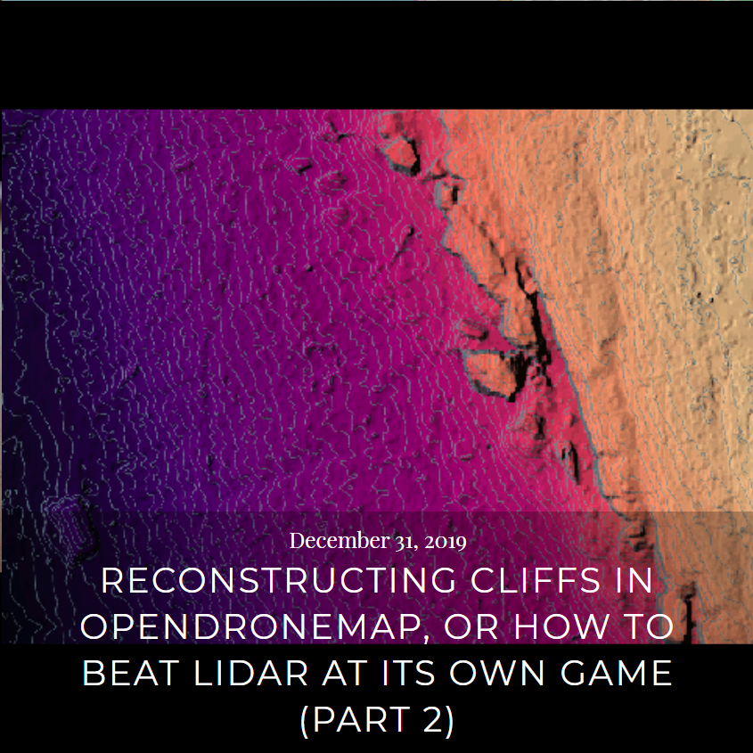
Let us explore a little more deeply the opportunity for drone photogrammetry for documenting deciduous forests. In previous posts, we explored exactly how, under the right conditions, we can see through leaf-off forest to the terrain below in ways that are quite favorable relative to techniques like lidar:

But a side effect of this capacity, is resolution and reconstructions that reconstruct all of the standing (and frankly also the fallen) tree trunks in the forest:
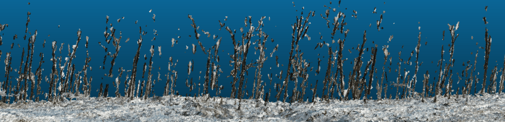
There is prior art. Julia Carr and Jacob Slyder published a paper on this in 2018 from work at the Carnegie Museum of Natural History. Expect to see more in this space here… .

That would be really impressive – I know there a lot of tech work involved but it would save me ages on tree assessments to know where the tree trunks are first! I will keep watching.