
In previous posts in this series here and here II and here III here IV, we’ve worked through a surprising use case in OpenDroneMap: unreferenced imagery for general 3D reconstruction. Let us take this one step further toward 3D construction. If we have a model that we can georeference (✔️) and thus can do things like create contours (✔️) then maybe we can use these information to create a cutting diagram for a laser etcher and recreated a neck from our 3D scan of the ukulele? Crazy idea? Probably. Am I going to explore it to it’s illogical end anyway? Probably. 🤪
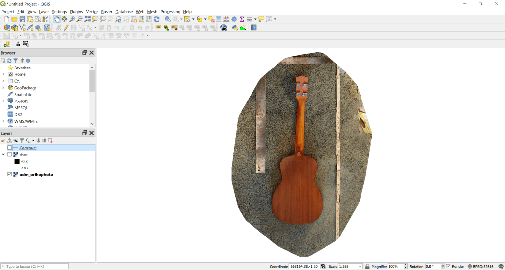
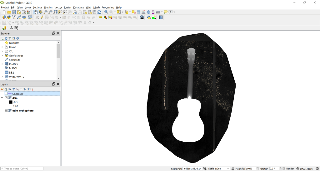
First step is, we need to download and unzip all our data from WebODM, and start loading and exploring it in QGIS.org.
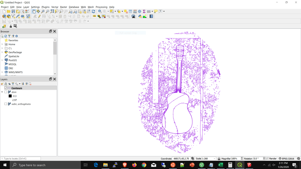
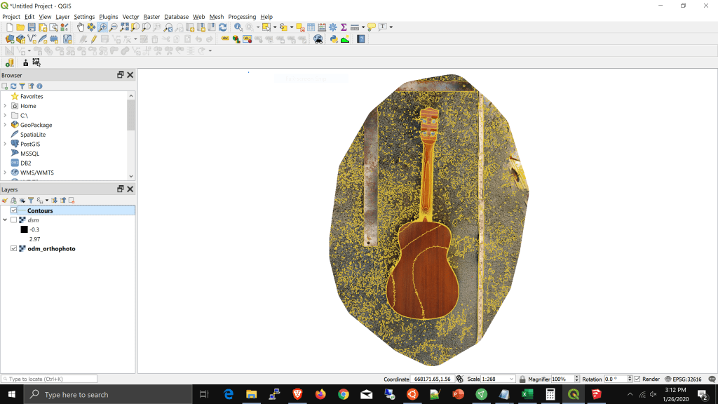
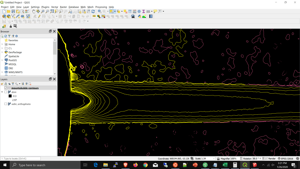
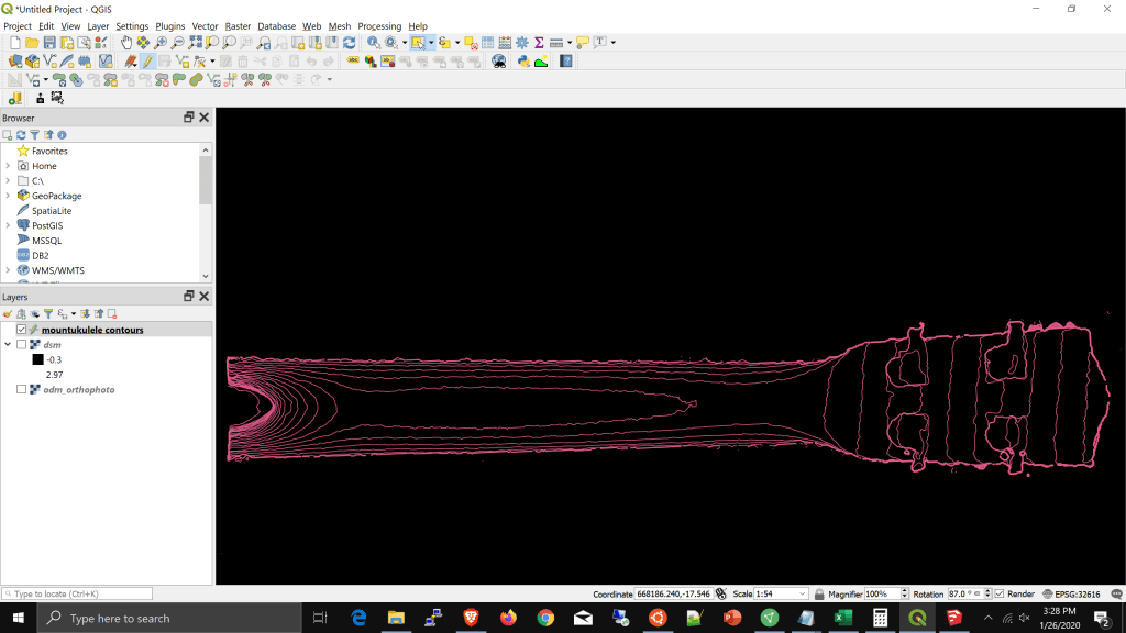
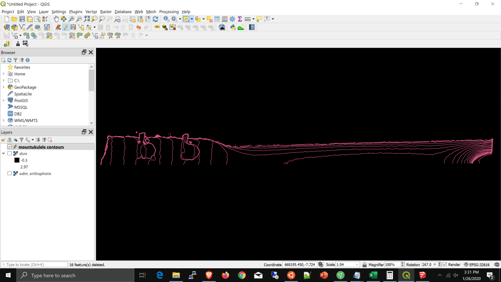
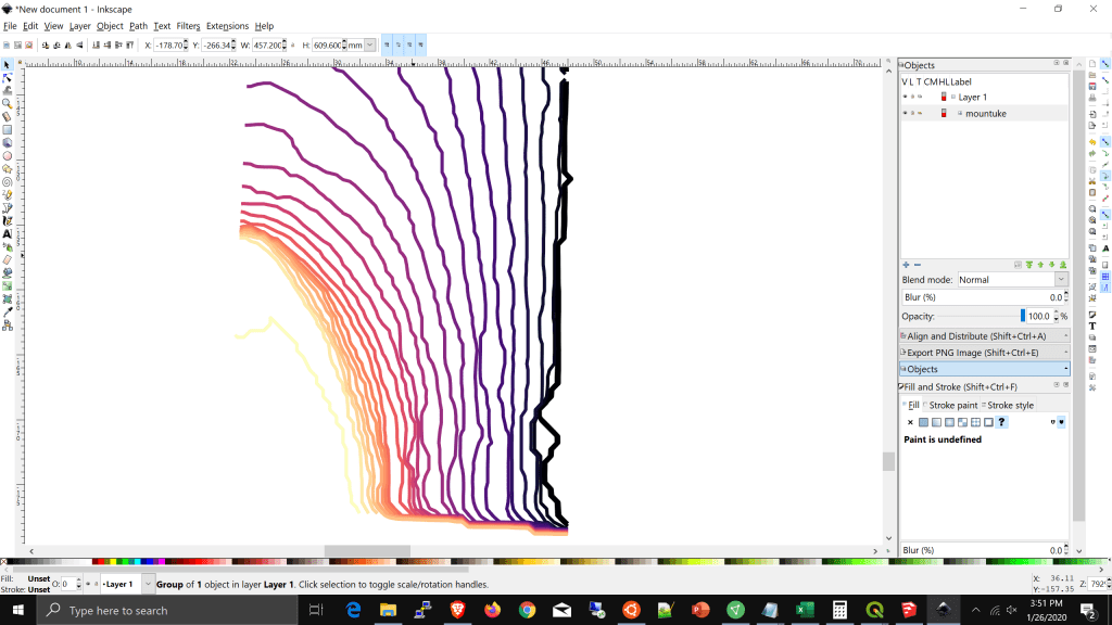
Now we have something to work with: lots of beautiful contours showing us the size and shape of the neck. Our contours are calculated at 1/4″ assuming we want to etch 1/4″ boards to build up our neck.
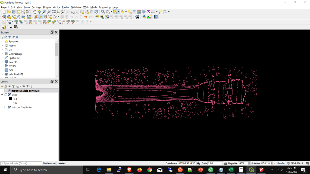
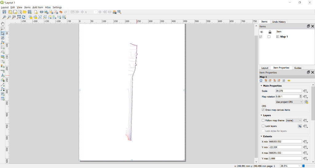
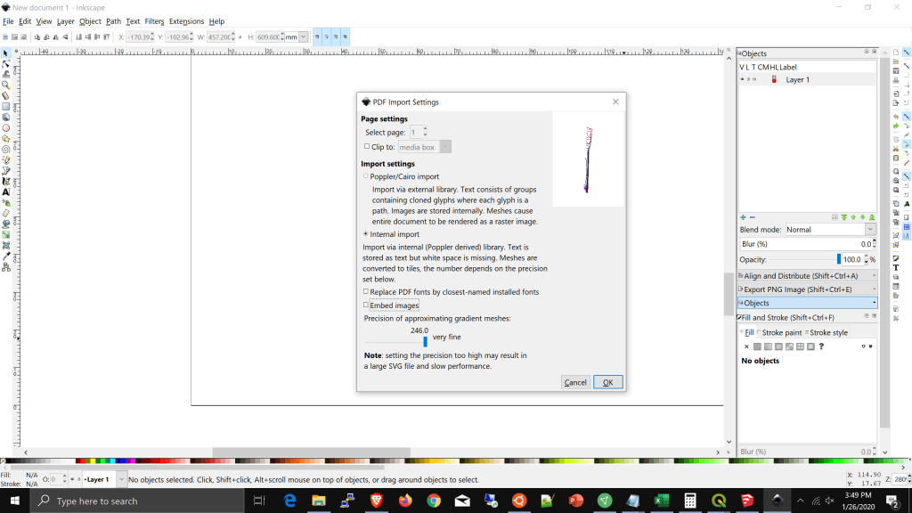
Now, those lines are a bit lumpy, so in the next steps, we will recreate those as splines so we have nice smooth cuts.
