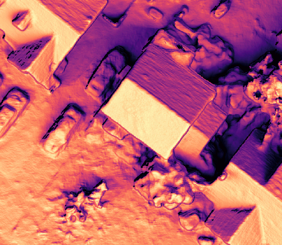
I did a fun thing recently, taking the pile of data I have for my house, processed in OpenDroneMap, and used it to do solar potential mapping. It’s not strictly an approach I needed to use, but it was fun, and I wrote it up here: https://community.opendronemap.org/t/overkill-using-photogrammetry-for-solar-estimates/13145
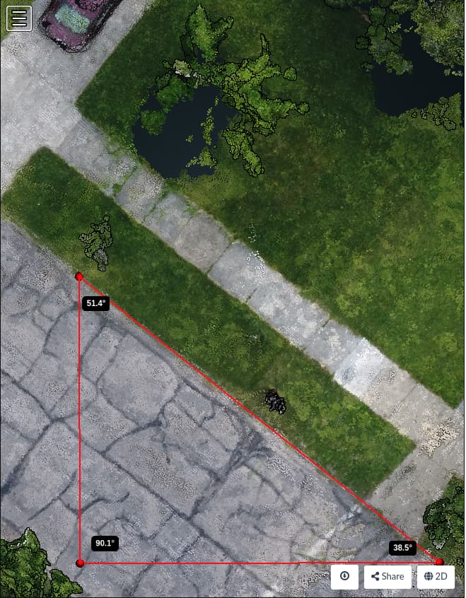
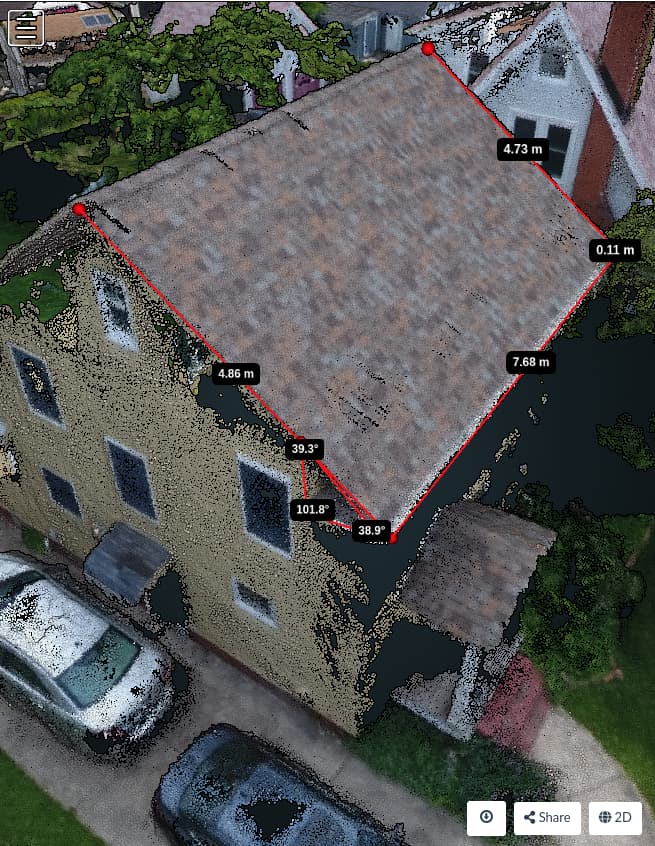
TL;DR: first I used the 3D models to measure things that might be easier to measure with other tools (like an inclinometer and a compass:
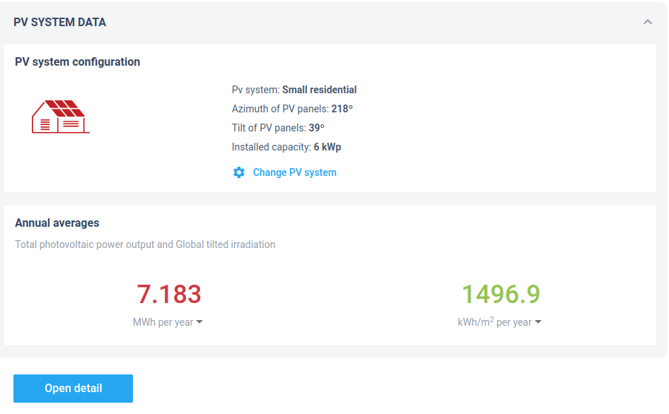
And then run that through a calculator to get a sense of the available power:
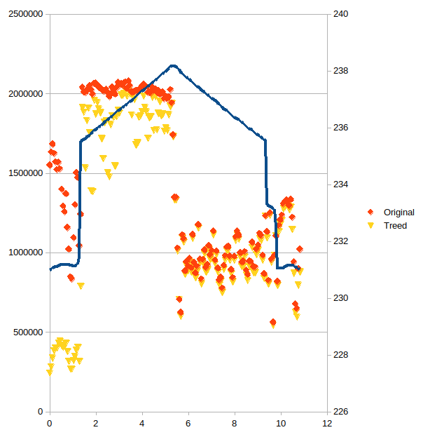
The more interesting work was to simulate a future if/when the oak tree in our front yard might negatively influence the available power, for which the answer seems to be: not in the lifetime of the panels:

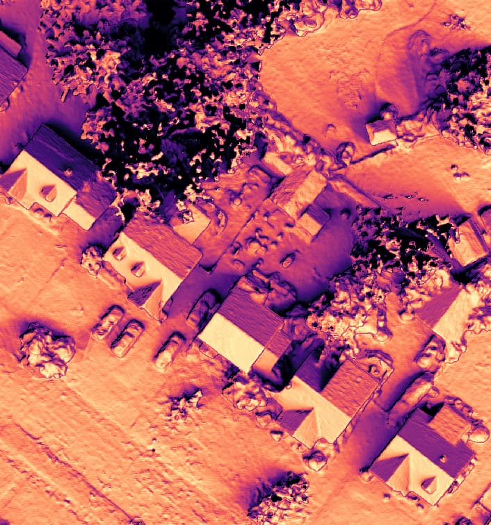
Also, I really love this color scheme for direct beam potential:
Anyway, if you didn’t stumble upon that on the community.opendronemap.org site before, check out the details. It’s perhaps an overkill application, but if you, like me, already have all the data, it’s a fun, quick way to run some numbers.
