Airspace — A deep rabbit hole

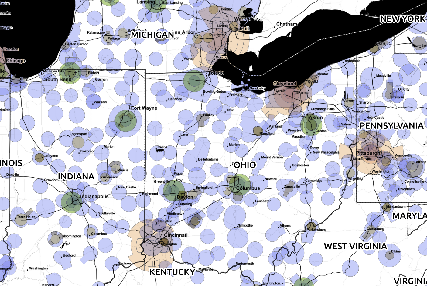
In previous maps we looked at Class B, C, and D airspace. Let’s add in Class E0 and E5… (not yet in 3D):

(Map tiles by Stamen Design, under CC BY 3.0. Data by OpenStreetMap, under ODbL)

Map showing Class B, C, D, E0, and E5 airspace

Previous posts:

https://smathermather.wordpress.com/2014/10/25/airspace-is-complicated-and-so-i-abuse-postgis-once-again/

and

https://smathermather.wordpress.com/2014/10/25/airspace-is-complicated-and-so-i-abuse-postgis-once-again-reprise/

Leave a Reply

Fill in your details below or click an icon to log in:

WordPress.com Logo

You are commenting using your WordPress.com account. Log Out /  Change )

Twitter picture

You are commenting using your Twitter account. Log Out /  Change )

Facebook photo

You are commenting using your Facebook account. Log Out /  Change )

Connecting to %s

This site uses Akismet to reduce spam. Learn how your comment data is processed.