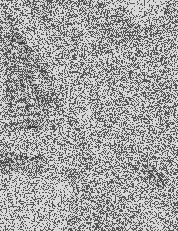
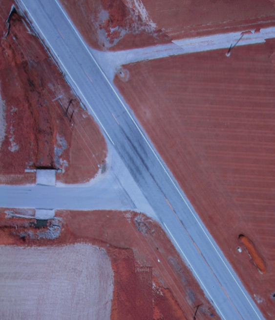
Spotscale’s texturing, orthophotos, and ground control have landed on the main branch for OpenDroneMap. No docs written yet, but an orthophoto and properly oriented textured mesh will be autogenerated just by running it on data with GPS ephemeris. Documentation yet to come on using ground control points for balloons, kites, and lower end drones, but expect that early next week.
(edit: for the record, this is my pi post — my 314th post on my blog)
