
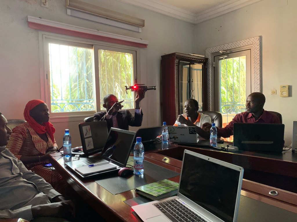
It’s a trite but we’ll earned pun. OSM Mali is amazing. I am in Bamako this week doing an OpenDroneMap workshop, and the community here is incredible. We just completed the first day of a two day workshop, working through some photogrammetry introductions, and on to some proper mapping tomorrow.

For this round, we weren’t able to fly just yet, so we are working around these limitations by going deep into the roots of photogrammetry, mapping out small stuff today, street scapes tomorrow, and in a (AFAIK) new approach, using some video captured by L’ADR (Agence Developpement Régional) to create a proper map.
Yes, I know. Use of video in OpenDroneMap has been broken for years. But, much as in this post “Scanning the samples with OpenDroneMap“, we used blender to export frames to images from the video. In the absence of ground control (we will get to that later in another post) we just fed these frames into OpenDroneMap to see what would come out. Piero Toffanin’s new algorithm guessed which was is up correctly, and we got a wonderful orthophoto and digital surface model over Kalaban marché (Kalaban Market) in Bamako.


Voilà!

Well done, congratulations to you and OSM Mali! Can you come to Togo and build our OSM community capacity in UAV mapping? Thank you in advance… Franck (OSM Togo)