
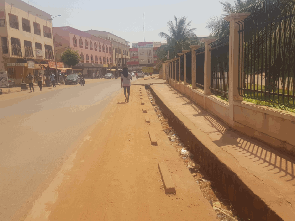
2nd day of the OSM Mali OpenDroneMap training went as well or better than the first. We spent quite a bit of time looking at the products of OpenDroneMap from day one, culminating in exploring their use in blender, and discussion of their use in JOSM, iD, and QGIS. We also got out for some field mapping. Lacking the necessary permits for flights, we tried street view cellphone photogrammetry with some really nice successes.
Can we map whole cities for hydrological modeling using simple tools like this? Indications from similar initiatives in natural areas indicate that this should be possible:

We shall await OSM Mali’s experiments in this arena. The first trials are quite hopeful:

