OpenDroneMap — Orthophotos and Textured Mesh (Habitats)

ODM shows some promise in mapping out microhabitats as on display with Michele Tobias & Alex Mandel’s dataset of hot air balloon derived images of Coal Oil Point Reserve, Goleta, CA.

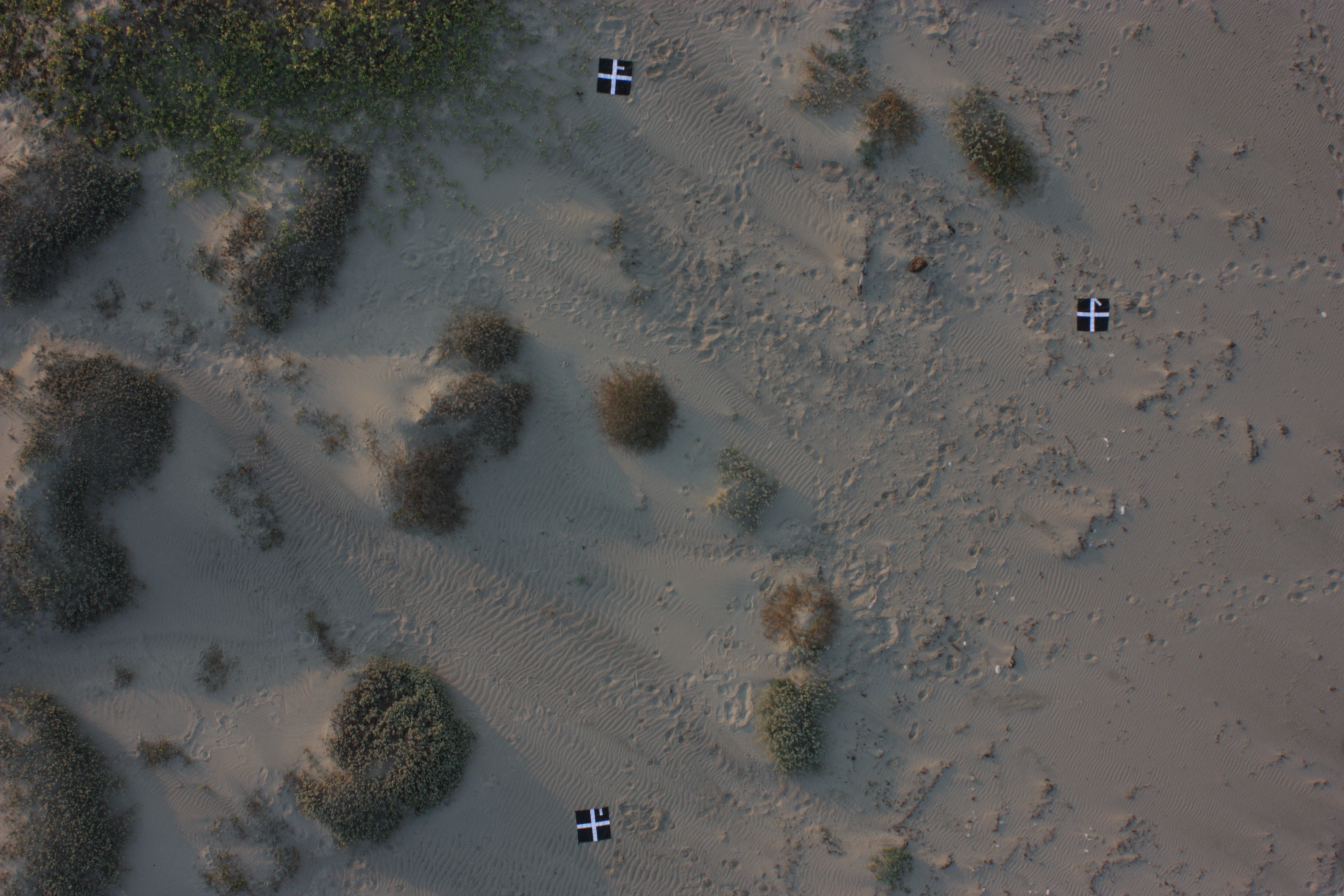
Here is one of the raw images:

Raw aerial image of beach from hot air balloon

And here’s a visualization of the small topographic and surface model variation derived from using ODM from the dataset.

Mesh of small scale beach structure


edit: I’m really looking forward to trying this out in sedge habitats… .

Leave a Reply

Fill in your details below or click an icon to log in:

WordPress.com Logo

You are commenting using your WordPress.com account. Log Out /  Change )

Facebook photo

You are commenting using your Facebook account. Log Out /  Change )

Connecting to %s

This site uses Akismet to reduce spam. Learn how your comment data is processed.