OpenDroneMap — Orthophotos and Textured Mesh (testing…)

A few new features are about to land on OpenDroneMap. Among those features, we have great work led and implemented by Spotscale for orienting our textured meshes so that Z is up:

Screenshot of georeferenced textured mesh

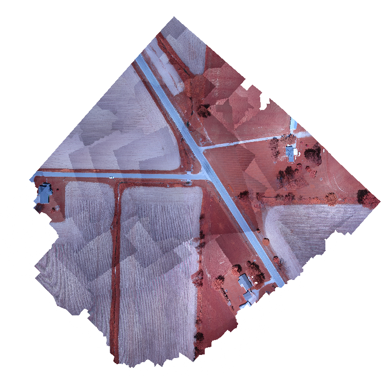
and auto-exporting an orthophoto when GPS ephemeris is available in our input images:

Screen capture of orthophoto from Seneca test dataset

——-

Next step — testing the input of ground control points in order to output fully referenced and orthorectified imagery. Stay tuned.

Leave a Reply

Fill in your details below or click an icon to log in:

WordPress.com Logo

You are commenting using your WordPress.com account. Log Out /  Change )

Facebook photo

You are commenting using your Facebook account. Log Out /  Change )

Connecting to %s

This site uses Akismet to reduce spam. Learn how your comment data is processed.