
Part 10 of N… , wait. This is a lie. This post is actually about optical drone data, not LiDAR data. This is about next phase features fro OpenDroneMap — automated and semiautomation of the point clouds, creation of DTMs and other fun such stuff.
To date, we’ve only extracted Digital Surface Models from ODM — the top surface of everything in the scene. As it is useful for hydrological modeling and other purposes to have a Digital Terrain Model estimated, we’ll be including PDAL’s Progressive Morphological Filter for the sake of DEM extraction. Here’s a small preview:

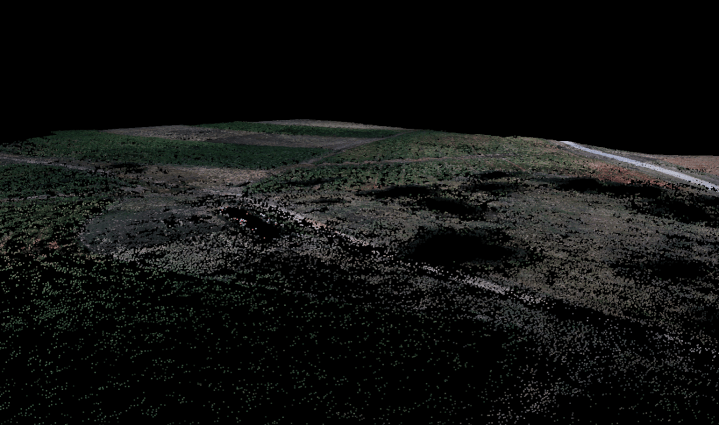
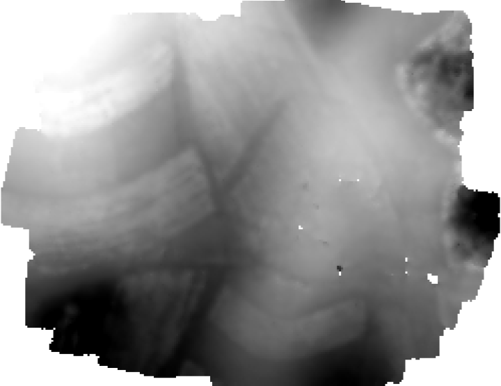
The test data above is Midpines, flown by NextGen Air Transportation Center (NGAT) access to the data through collaboration with Center for Geospatial Analytics at NCSU.
