
Introduction
If you haven’t seen them already, take a look at Part 1 and Part 2 of this series on using the outputs from OpenDroneMap in blender.
After exploring OpenDroneMap outputs in blender for a building and its surrounding landscaping and then a some gingerbread buildings on a dining table, let’s take a look at OpenDroneMap outputs for terrain modeling in blender.
It’s not uncommon to model terrains in blender. This can be done algorithmically with invented landscapes as here:
https://www.blendermarket.com/products/true-terrain-

It can be done from real landscapes using elevation models as documented here:
https://johnflower.org/tutorial/make-mountains-blender-heightmaps
Limitations of the existing approaches
The existing approaches are really cool: one for invented landscapes (with sophisticated modeling of landscape features like dust, snow, vegetation, etc.) and one for real landscapes as measured and quantified as elevation models. The limitation to these approaches is that they are 2.5 dimensional. This works well for many landscapes, but for some landscapes, such as cliff areas with overhangs, a full 3D approach is better.
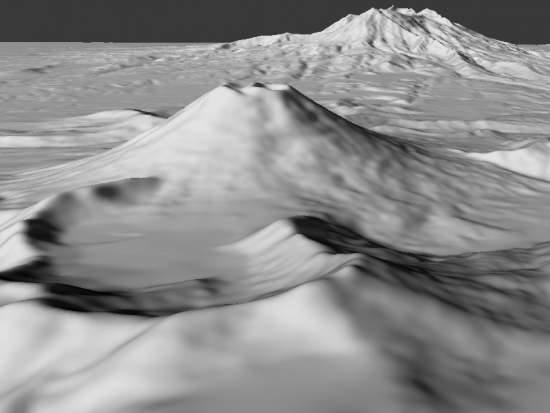
Enter OpenDroneMap
OpenDroneMap outputs 2.5D products, such as digital surface models and digital terrain models, but it also outputs a 3D mesh and 3D point cloud. The limitations of these 3D products are largely a function of the quality of the input data. When you see my 3D model of Whipps Ledges in Hinckley, Ohio (see previous blog post on this), you will see some overhangs which are insufficiently mapped. But overall, the 3D model works very well for this cliff face:

Limitations to OpenDroneMap approach
We do have some limitation with this approach. The reasons this is a winter scene are covered in the previous blog post, but can be summarized as follows: we needed to see through the deciduous trees and we needed a high contrast background to the trees.
Also, I haven’t (yet) done my due diligence in cleaning up the scene: removing spurious tree trunks and trimming the edges of the scene. But this approach shows real promise for showing 3D views of things like interesting cliff faces. Until I do the full cleanup, here’s the full 7 second video:

3 thoughts on “OpenDroneMap + blender = Fun (Part 3)”